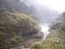
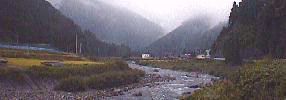
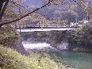
Mazegawa River, Kawaue |
 |
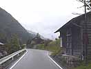
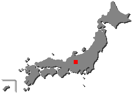
| Maze Village is located in the northern part of south Hida, Gifu. It is surrounded by mountains of 3,000 feets class high. |
 |
 |
 | |
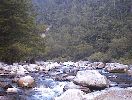
| View of upper stream | Near Camp area | ||
 |
 | ||
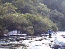
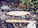
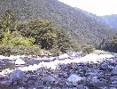
| Amago of good figure | Rapids near Kawaue | ||
 |
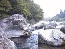 | ||
| Shallows near Kuroishi | Depths near Kawaue | ||
 |
 | ||
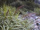
| Pampas grass | Outskirts of the village | ||
 |
 |
 | |
| It has stopped raining, and Sugoh is in mist. | Pool near Village office | ||
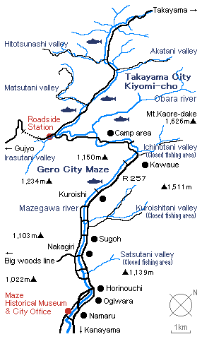
| The Maze River begin to flow from Mt. Ryugamine in next Kiyomi village.
That river runs through to south in the middle of the Maze village,
and it joins the Ichinotani River from Mt. Kaore at Kawaue of the deepest the Maze village.
And it joins the Yugake River, the Wara River in the lower part and last the Hida River. The Iwaya dam was constructed in the south of Maze village in 1976. But there had little impact for fishing area, because there was the lower part of the Maze River. Even now the Maze River is great fishing area of Amago, Iwana (Char) and Ayu (Sweet fish). The Maze village is attractive for me that the Maze River has light and varied stream, and so is hot spring in lower part Nishimura. To access to the upper reaches of Mazegawa River became very easy now but the beautiful streams are still alive and well. |
Flies |
Equipment |
| Back to Main Home Page | Profile | Links |
Home |
Paper Craft of Japanese Trout and the World Trout © 1997 Yoshikazu Fujioka |