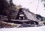
Shokawa River, Shirakawago Hirase |
 |
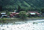
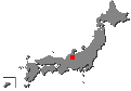
| Hirase is a typical mountain village that is surrounded by mountains. It is located in the north western part of Gifu Prefecture. |
 |
 |
 | |
| Toyama house Folk Museum | Oshirakawa River in summer | ||
 |
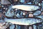 | ||
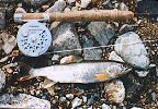
| Downstream of Miboro Dam | Silver Iwana in summer | ||
 |
 | ||
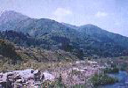
| Hot spring district of Hirase | |||
 |
|||
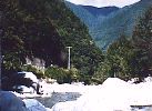
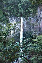
| Amago Trout in May | Hakusui Falls in beech forest | ||
 |
 |
 |
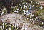 |
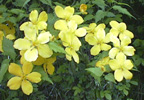
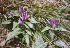
| Spring has finally come. |
Flowers are in full bloom. | Dotted skunk cabbages | |
|
Shirakawago Hirase contrast with many dark rivers in Kansai.
Beautiful fish live there. Though the river is cut by many dams.
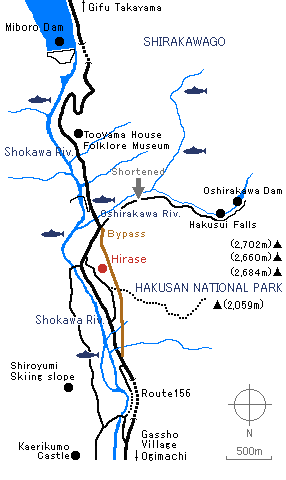
We can still meet enriched nature and warmhearted people. It is hot spring district another reason why I like that place. There are secret stories of Kaerikumo Castle which disappeared by the big earthquake of the Period of War(1485) and golden legends. Fossilized footprints of a dinosaurs was found near the upper stream of the Shirakawa River recently. There are a way of going to Route 156 and through Hirugano and the Shoukawa River of the upper stream go up north and the other way of through Ogimachi where is known gassho-zukuri village from Takaoka city and go down south. Shirakawago Hirase was the border in former days, but we can go to there by Tokai-Hokuriku Expressway easily now. |
Flies |
Equipment |
| Back to Main Home Page | Profile | Links |
Home |
Paper Craft of Japanese Trout and the World Trout © 1997 Yoshikazu Fujioka |